Forestal Monitoring & Carbon Sequestration
Introduction
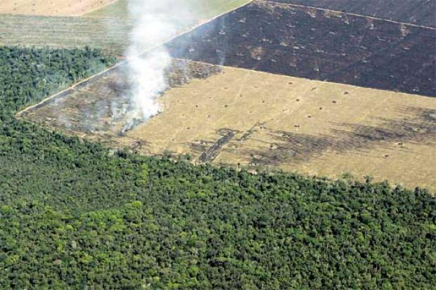
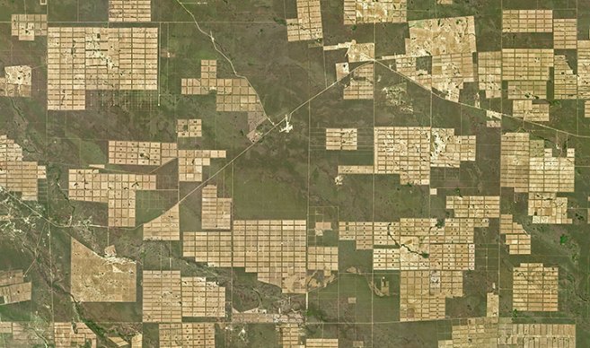
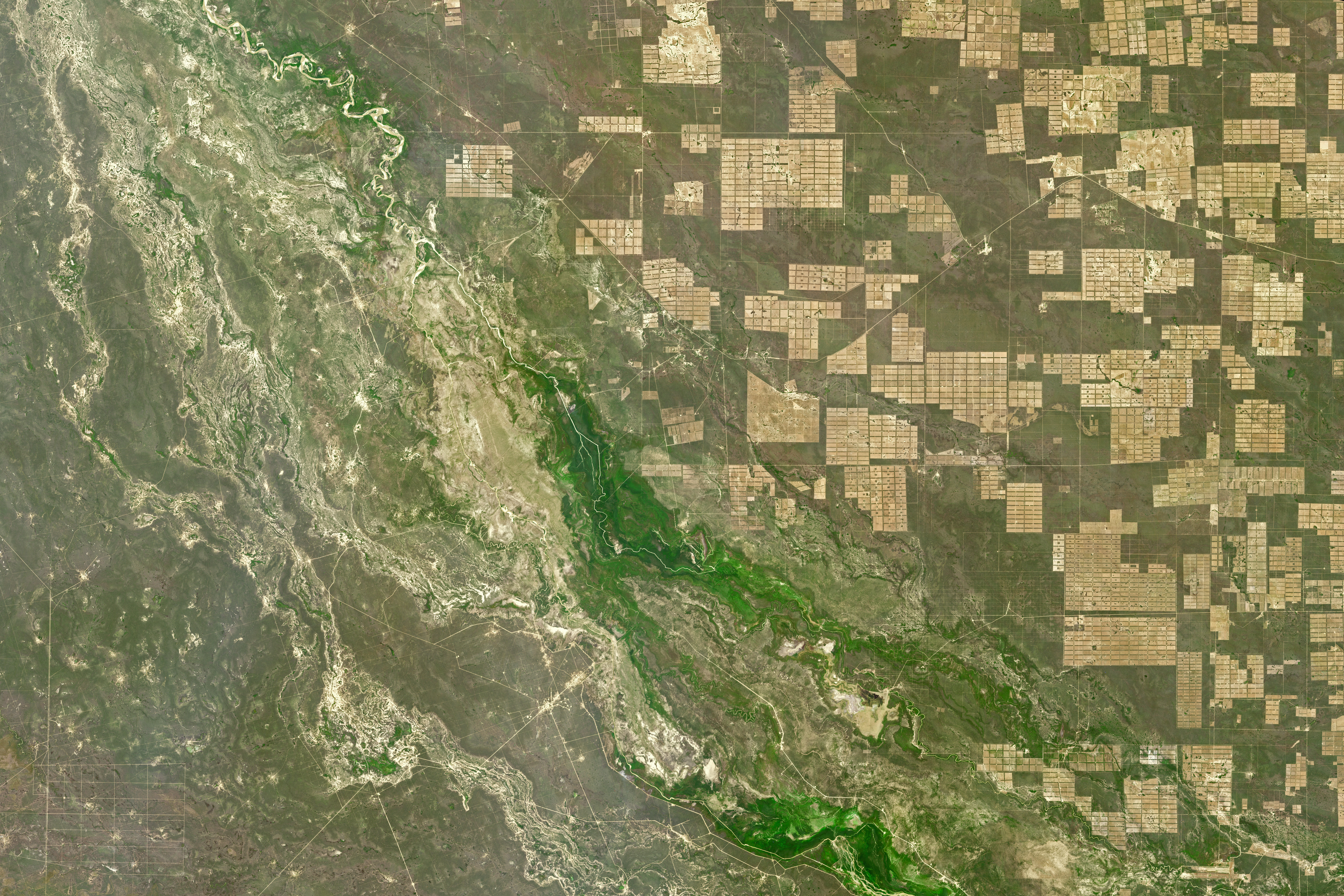
The ongoing deforestation crisis in Paraguay is primarily driven by agricultural expansion and wildfires, leading to a rise in carbon emission levels, causing loss of biodiversity and an increase of the overall temperature in the region. Vital ecosystems are facing alarming rates of deforestation, the loss of which damages wildlife and reduces the region's capacity to capture and store carbon dioxide, further aggravating the global climate crisis.
Previous research made in deforestation monitoring has employed satellite images, geographic information and more to track changes in the forest over time. However, the use of AI and machine learning is a new set of opportunities for more accurate and dynamic tracking of the changes in the environment. This project aims to address the challenges of monitoring deforestation and carbon sequestration potential by developing an artificial intelligence model that is capable of following these issues in order to obtain important data about the damaged zones, enabling the identification of areas where reforestation efforts would yield the maximum carbon capture benefit.
The effects of deforestation are far-reaching. It leads to the loss of biodiversity, with species becoming extinct and ecosystems being disrupted. Additionally, deforestation contributes significantly to climate change by releasing large amounts of carbon stored in trees into the atmosphere.
This project intends to provide an accurate deforestation detection system, a predictive model for wildfire risk and a map of carbon sequestration potential across the region. Aiming to contribute a valuable tool to make data-driven decisions for where to implement reforestation programs. Moreover, the project aims to raise awareness of deforestation and wildfire issues in Paraguay. On top of that, it is an effective way to contribute to the development of AI technologies specifically designed to address environmental challenges in Paraguay. The integration of this model is expected to significantly improve forest conservation efforts that will lead to a substantial reduction in CO2 emissions in Paraguay.
Methodology
This project makes use of artificial intelligence (AI) and machine learning (ML) to enhance deforestation detection and support reforestation in the Chaco region. By integrating high-resolution satellite imagery from Sentinel-2 and applying advanced techniques such as Convolutional Neural Networks (CNNs) for image analysis and Recurrent Neural Networks (RNNs) for temporal forecasting, the project creates a powerful system for monitoring vegetation changes and predicting deforestation trends.
Additionally, the project focuses on identifying optimal locations for reforestation based on carbon sequestration potential, enabling policymakers to prioritize the most impactful areas for intervention. The use of AI improves the accuracy of monitoring systems and provides actionable insights, offering a scalable, data-driven approach to combat deforestation.
This initiative aims to preserve Chaco’s ecosystems, reduce carbon emissions, and support informed decision-making in conservation, contributing to a sustainable balance between development and ecosystem preservation in fragile regions.